


definition
strict definition
default boundary
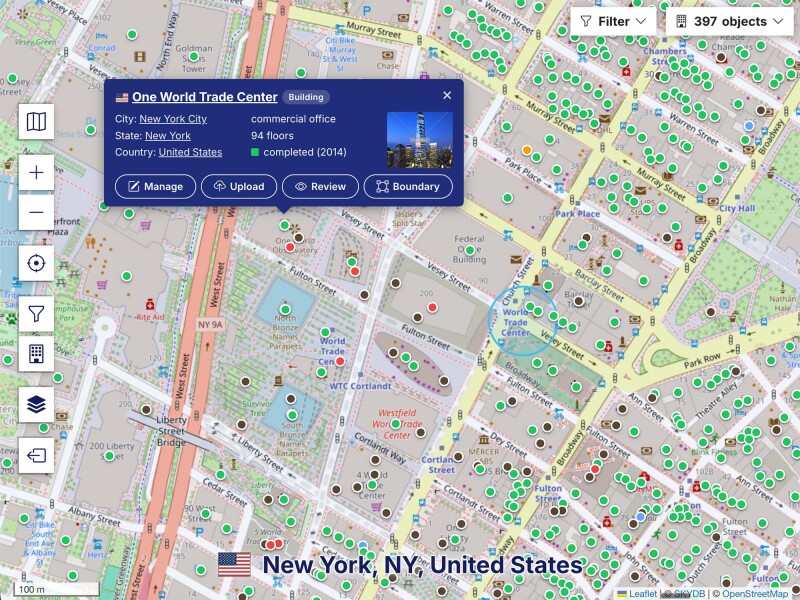
The boundary drawn on the map, and the one area and density are computed from.
The default boundary is the outline SKYDB draws and measures. For a region it is the administrative area, for a structure the footprint of the building.
It is the only type every object can have, and it is what a plain boundary import writes. The other six describe a particular kind of limit and are added beside it rather than instead of it.
Area and population density are computed from this boundary alone, so a region whose default boundary includes coastal water reports a larger area and a lower density than one clipped to the coast.