FILE
elevation diagram
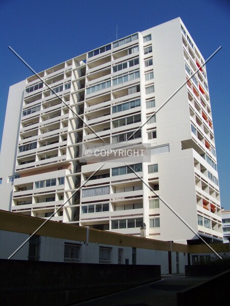
Photo 116-767-751
Connected to Tour Europe 2 in La Rochelle
Florian Barbier·March 23, 2009·2,304 × 3,072 px·1,354,784 bytes
- Photo ID
- 116-767-751
- Format
- JPG
- Dimensions
- 2,304 × 3,072 px
- File size
- 1,354,784 bytes
- Photo credit
- Florian Barbier
- Category
- elevation diagram
Rating Join to rate
Rate this photo for composition, lighting and how well it captures the building. Your vote feeds into the photographer's average score across SKYDB.